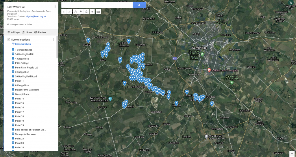
We have been logging survey requests from EWR Co. for several months now. There is a post about this here.
But quite a few people have reported problems with using the map hence this additional information.
After following this link to the map, to add a survey location, log into your Google account. If you are logged in you will see you initials in a circle at the top right-hand corner of the map.
Then click “edit” which you will find under the list of points on the left. If you can’t see an edit option then you may already be in edit mode.
In edit more, to add a label to the map click the “add marker” icon (a grey balloon shaped icon) under the search box on the map, then click the location of the survey and then label it. To make it even more helpful, please add the date of the survey and any specific details (eg bats) if it is not a general survey.

If you don’t have a Google account please email info@cambridgeapproaches.org with the relevant details and ask them to add it to the map for you.
For GDPR reasons it better if the landowner either adds the log point or gives permission to do is.